Upper Mustang Trek
The Upper Mustang Trek takes you into a remote Himalayan landscape that feels closer to the Tibetan Plateau than the rest of Nepal. Sheltered behind the Annapurna and Dhaulagiri ranges, this region lies in a natural rain shadow, creating a dry, wind-carved terrain of deep canyons, eroded cliffs, and vast open plateaus. Unlike the forested trails of central Nepal, Upper Mustang reveals a stark, open horizon shaped by geology, altitude, and centuries of isolation.
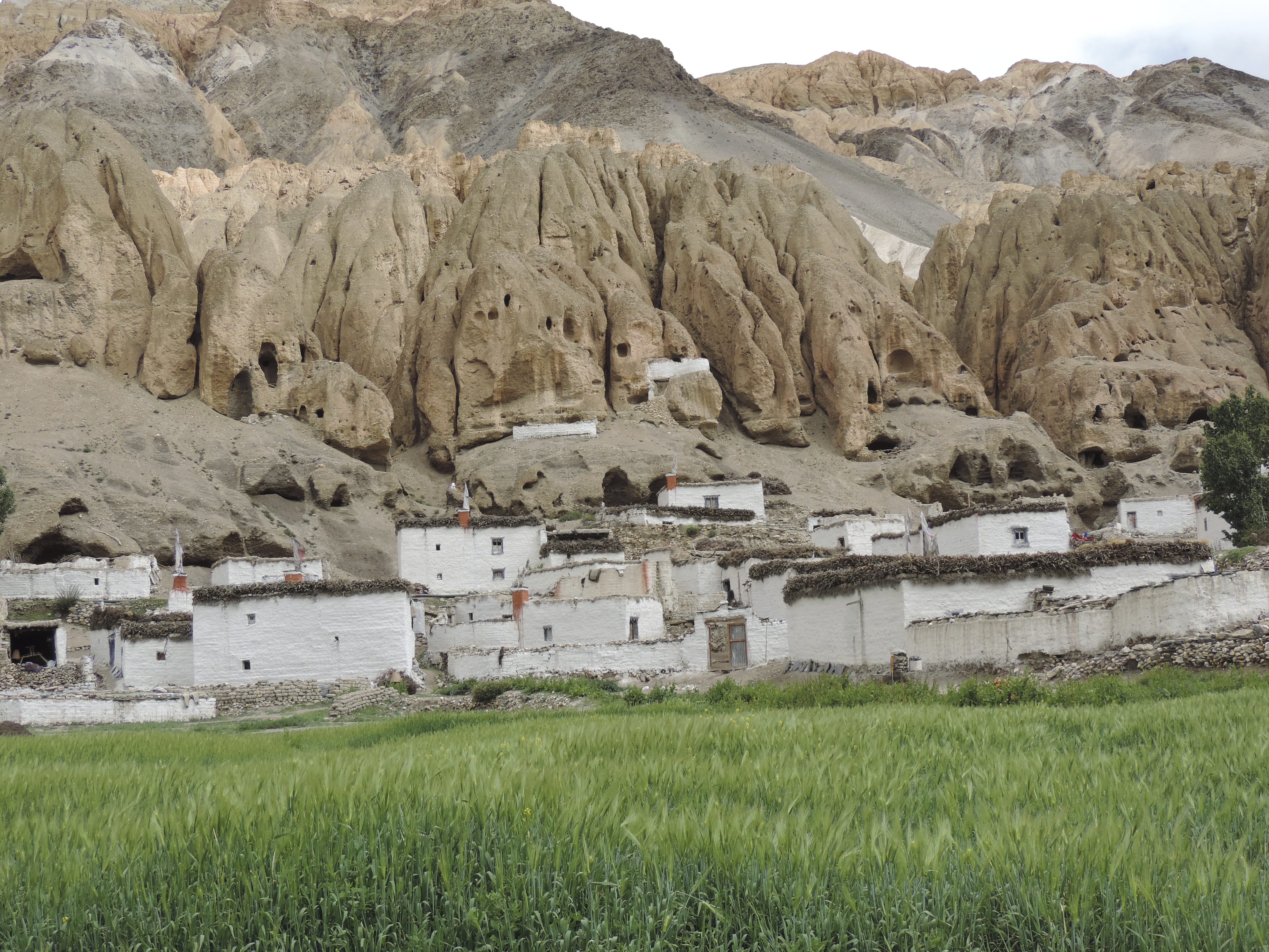
For much of its modern history, Mustang remained a restricted kingdom, closed to outsiders until 1992. That long isolation allowed Tibetan Buddhist traditions, language, and architecture to survive with little outside influence. Even today, villages are built from sun-dried mud brick, fields are irrigated through ancient canal systems, and monasteries continue daily rituals that have remained unchanged for generations.
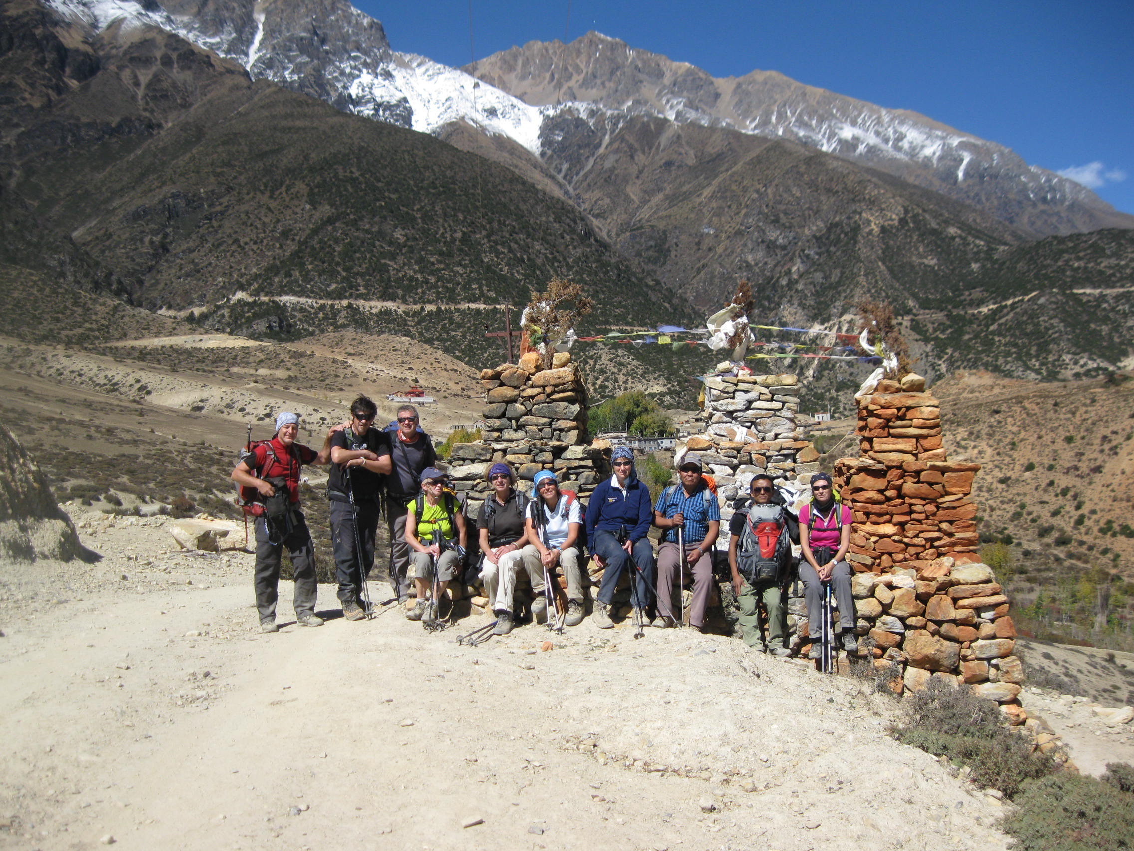
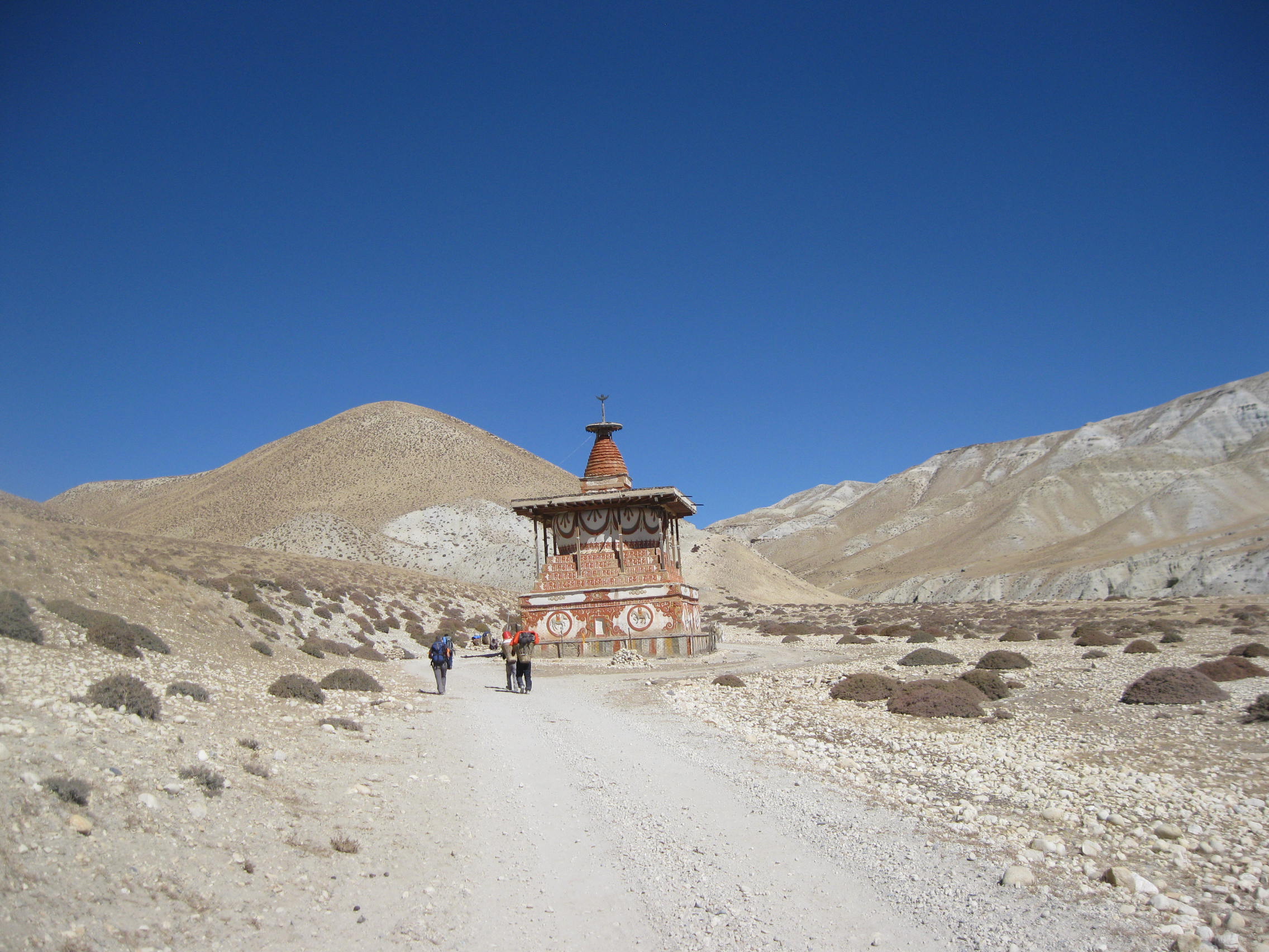
The trek follows the course of the Kali Gandaki River, once a vital salt-trade route between Tibet and the lowlands. After entering the restricted region at Kagbeni, the trail gradually moves north through a chain of medieval villages such as Chhusang, Syangboche, Ghemi, and Tsarang. Each settlement reflects a way of life adapted to altitude, aridity, and strong winds. Whitewashed houses, mani walls, chortens, and prayer flags mark the path, while herds of goats, yaks, and horses remain part of daily village life.
As elevation increases, the scenery becomes more dramatic and spacious. Multicolored cliffs rise sharply above the trail, shaped by wind and time into layered formations of red, brown, and ochre. In many areas, ancient cave dwellings can be seen carved high into the cliff faces, some believed to be more than a thousand years old. These caves were once used for meditation, burial, and refuge, and remain one of the most distinctive features of Upper Mustang.
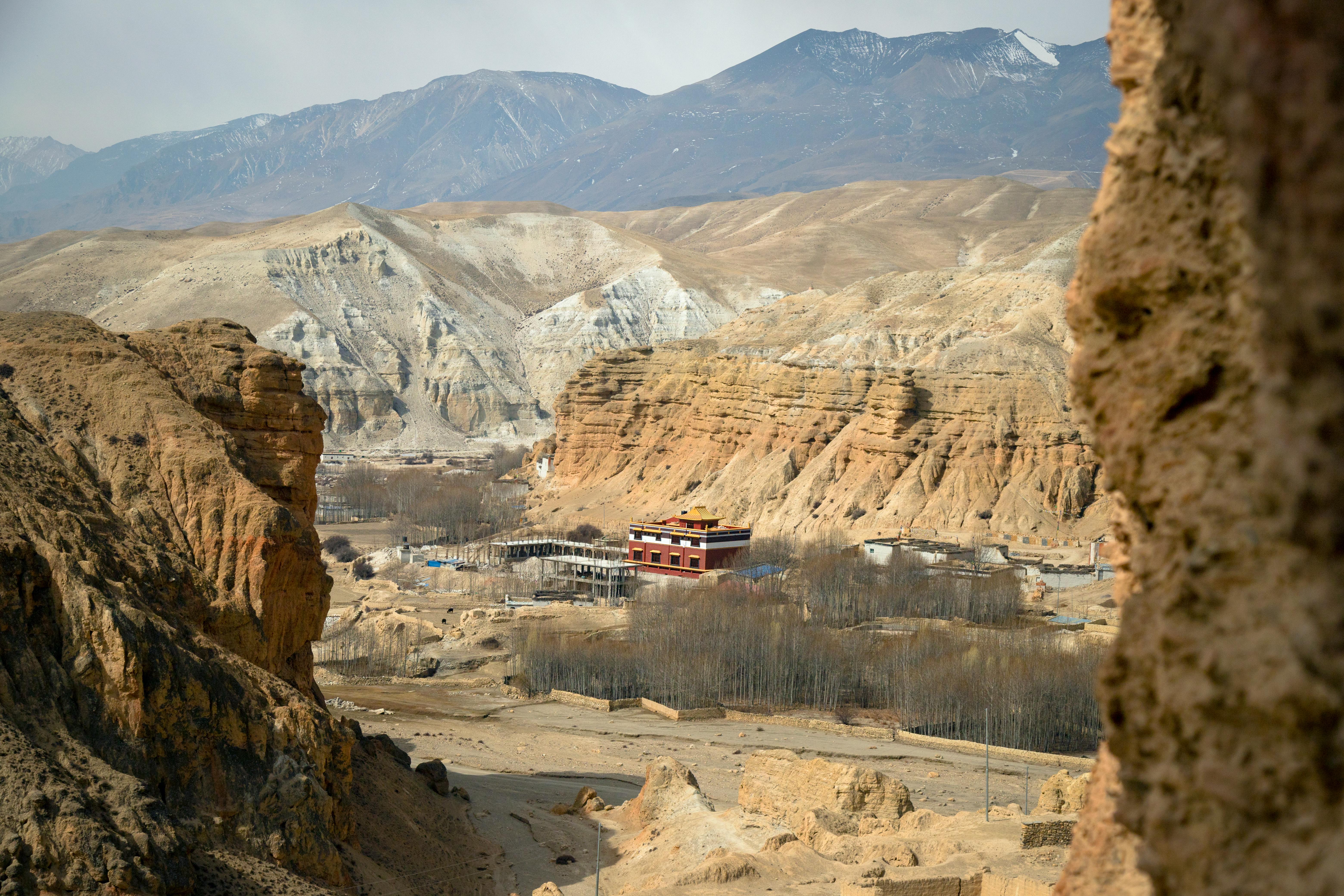
The journey reaches its cultural high point at Lo Manthang (3,810m), the former royal capital of the Kingdom of Lo. Surrounded by defensive walls, the city is home to important monasteries such as Jampa Lhakhang, Thubchen Gompa, and Chode Gompa. Narrow alleys, royal structures, and communal courtyards offer insight into a social system shaped by Buddhism, trade, and geography. Time in Lo Manthang allows for quiet exploration rather than hurried sightseeing, giving trekkers a chance to observe daily rituals and village rhythms.
Depending on the itinerary length, the return journey may include side trips to nearby valleys, high viewpoints, or cave complexes before descending toward Muktinath (3,800m). This sacred site holds deep religious importance for both Hindus and Buddhists and marks a symbolic transition from the arid Mustang plateau back toward the greener landscapes of lower Mustang and Pokhara.
Throughout the trek, temperatures vary noticeably between day and night due to the dry, high-altitude climate. Daytime temperatures typically range from 8°C to 18°C, depending on the season and elevation, while nighttime temperatures can drop to -6°C to 5°C, especially in Upper Mustang villages and around Lo Manthang. Clear skies and strong sunlight during the day contrast with cold evenings, making layered clothing essential.
Upper Mustang trekking is not about technical difficulty or extreme altitude. It is a journey shaped by landscape, history, and cultural continuity. The terrain is generally dry and open, with gradual ascents and descents, making it accessible to trekkers with good fitness and a steady walking pace. What sets this trek apart is its atmosphere. Silence, space, and a sense of remoteness define the experience far more than crowds or commercial trails.
With carefully structured itineraries ranging from 14 to 19 days, Ticino Treks offers multiple ways to experience Upper Mustang, from direct cultural routes to extended explorations of remote valleys and hidden settlements. Each option is designed to balance walking distance, acclimatization, and cultural depth, ensuring a safe and rewarding journey into one of Nepal’s most remarkable regions.