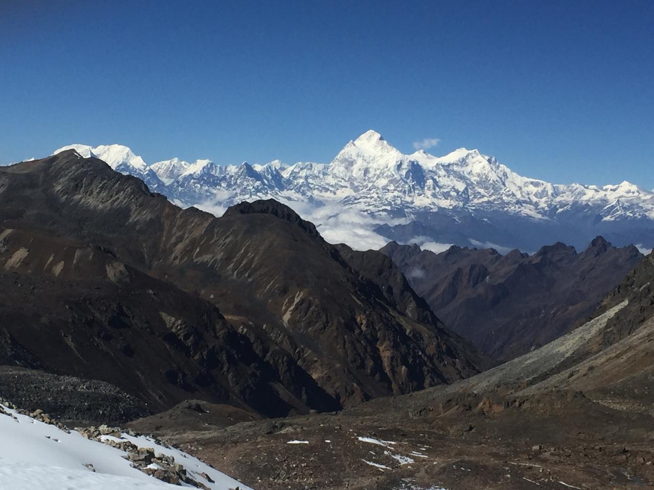
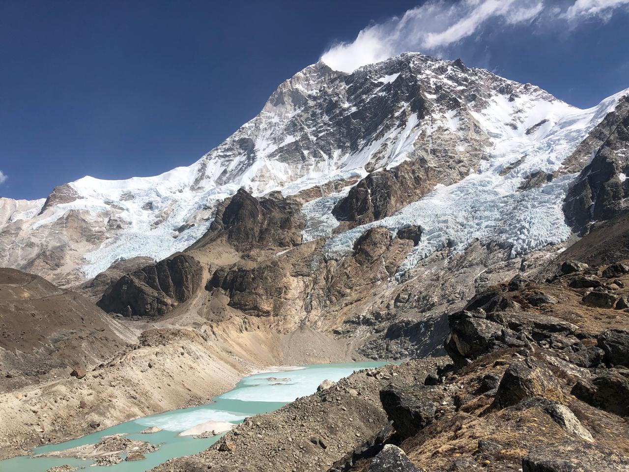
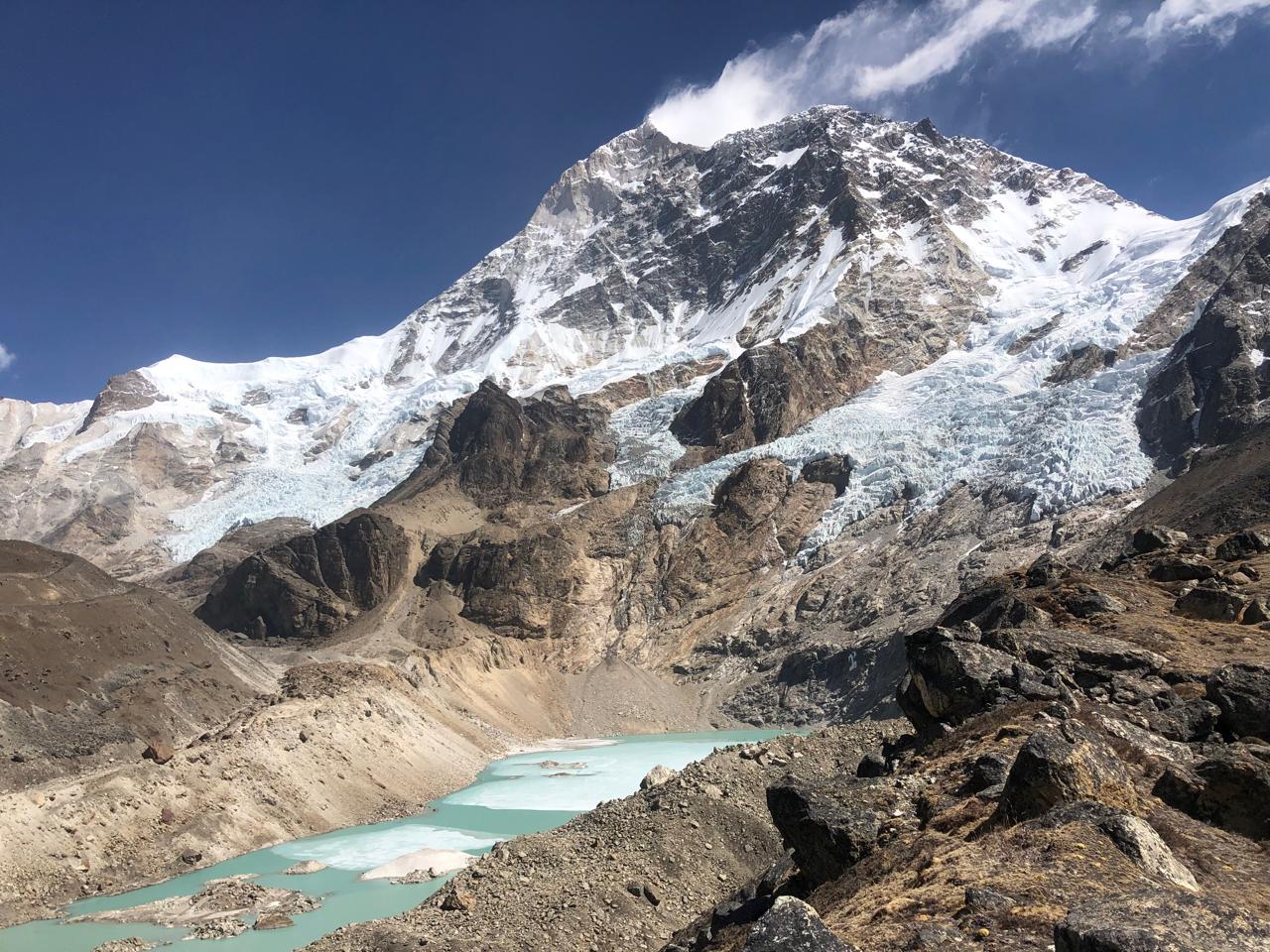
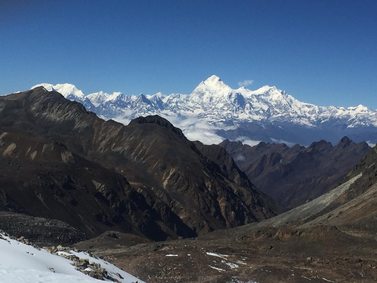
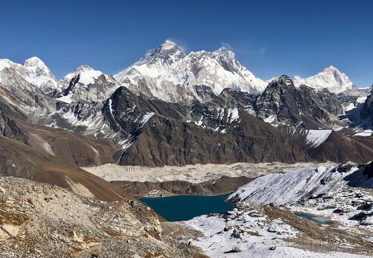
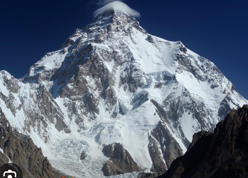
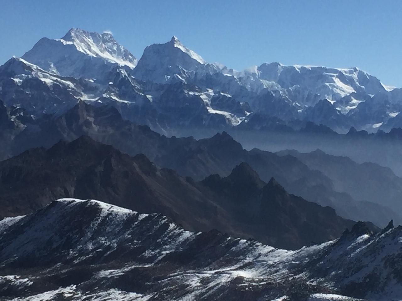
Mount Makalu, standing at 8,485 meters, is the fifth-highest mountain in the world and one of the most prominent peaks among the 8,000-meter giants. Located on the border between Nepal and Tibet, Makalu lies just 19 kilometers southeast of Mount Everest. Its striking four-sided pyramid shape makes it visually distinctive among the Himalayan giants, commanding awe and respect from all who view it.
Makalu's climbing history is rich with early exploration and determination. The mountain was first mapped and photographed in 1921 by a British Everest reconnaissance team from the Tibetan side. In 1951, Sir Edmund Hillary and Eric Shipton photographed Makalu during a reconnaissance mission following their failed Cho Oyu expedition. A U.S. team was the first to attempt the climb in 1954, having trekked from the Indian border near Biratnagar. Simultaneously, a British team made their approach but had to abandon the effort due to Hillary's illness. Ultimately, the summit was first reached in 1955 by a group of French climbers, marking a significant milestone in Himalayan mountaineering history.
The climbing route to Makalu's summit is divided into four challenging sections. The route begins from the West Face Base Camp at 5,800 meters and leads through a hanging icefall at 6,100 meters. This initial phase already tests climbers with altitude and unstable glacier terrain. The second section ascends a steep slope, angled between 35 to 45 degrees, taking climbers to around 6,500 meters. The challenges intensify with each vertical meter gained, as oxygen levels drop and weather conditions become increasingly severe.
The third and fourth sections of the climb demand the highest levels of skill and endurance. Climbers must navigate an ice-rock wall with gradients reaching 50 to 55 degrees, ascending to 7,400 meters. From there, they face a rock pillar inclined at 70 to 75 degrees that leads to the west ridge at 8,000 meters, before pushing toward the summit at 8,463 meters. Rope fixing is essential for safety, particularly between 5,800 and 6,100 meters and again in the upper sections where exposure and fall risk are high. The technical demands of Makalu make it one of the most difficult 8,000-meter peaks to climb.
Proper acclimatization and expedition planning are vital to summit success. Most climbers use supplemental oxygen from the higher camps, especially from Camp III upward. Sherpa support is indispensable throughout the climb—for fixing ropes, carrying loads, and ensuring route safety through icefalls and crevasses. Even the trek to Makalu Base Camp is a major adventure, offering stunning Himalayan scenery and remote alpine terrain. Because of the remoteness, extreme weather, and high altitude, appropriate permits and careful logistics are required for anyone attempting this expedition.
Trip Notes
Best Time to Visit
-
Spring (April-May): Ideal climbing conditions with stable weather and clear skies.
-
Autumn (September-November): Another favorable season with crisp air and less precipitation.
Expedition Highlights
-
Makalu (8,463m): The world’s fifth-highest peak, known for its technical difficulty and remote location.
-
Trekking through the Himalayas: Pass through lush forests, remote villages, and high-altitude landscapes.
-
Cultural Experience: Visit traditional Sherpa villages like Tashi Gaun and Khadbari.
-
Acclimatization Days: Ensuring proper adaptation to high-altitude conditions before the summit push.
-
Summit Attempt: A challenging climb requiring technical mountaineering skills, ice climbing, and rope fixing.
Climbing Route & Camps
-
Lower Base Camp (4,870m) – First acclimatization point before pushing to the higher base camp.
-
Higher Base Camp (5,600m) – Staging point for summit rotations and acclimatization.
-
Camp I (6,400m) – Begins the steep ascent on ice and snow.
-
Camp II (6,800m) – Located below the Makalu La Pass, requires fixed ropes.
-
Camp III (7,400m) – A steep climb leading to a narrow ridge.
-
Camp IV (7,800m) – Last camp before the summit push, involving technical climbing.
-
Summit (8,463m) – The final ascent with breathtaking views of Everest, Lhotse, and Baruntse.
Difficulty Level
-
Extreme: Makalu is considered one of the most challenging 8,000-meter peaks due to its steep rock and ice faces, technical ridges, and exposed routes.
-
Required Experience: Prior high-altitude climbing experience (above 7,000m) is essential.
Key Challenges
-
Altitude Sickness: Proper acclimatization and hydration are critical.
-
Weather Conditions: Harsh and unpredictable, with high winds and freezing temperatures.
-
Technical Climbing: Steep rock walls, ice ridges, and crevasse crossings demand excellent mountaineering skills.
-
Physical Fitness: Climbers must be in peak physical condition with endurance training.
Training & Preparation
-
Mountaineering Experience: Previous experience on 7,000m peaks recommended.
-
Physical Training: Strength, endurance, and cardiovascular fitness are required.
-
Technical Skills: Ice climbing, crevasse rescue, fixed rope usage, and rock climbing.
-
Acclimatization & Altitude Training: Spending time at high altitudes before the expedition is beneficial.
Safety Considerations
-
Avalanches & Icefalls: Especially in the Icefall and steep sections near Camp II and III.
-
Crevasses: Requires proper rope techniques and cautious movement.
-
Summit Push Strategy: Proper weather window selection is crucial for a successful ascent.
-
Supplementary Oxygen: Typically used above Camp III to assist in high-altitude performance.
Permits Required
-
Makalu Expedition Climbing Permit – Issued by the Nepal Government.
-
Makalu Barun National Park Entry Permit – Required for entry into the conservation area.
-
TIMS Card (Trekkers' Information Management System) – Managed by TAAN.
